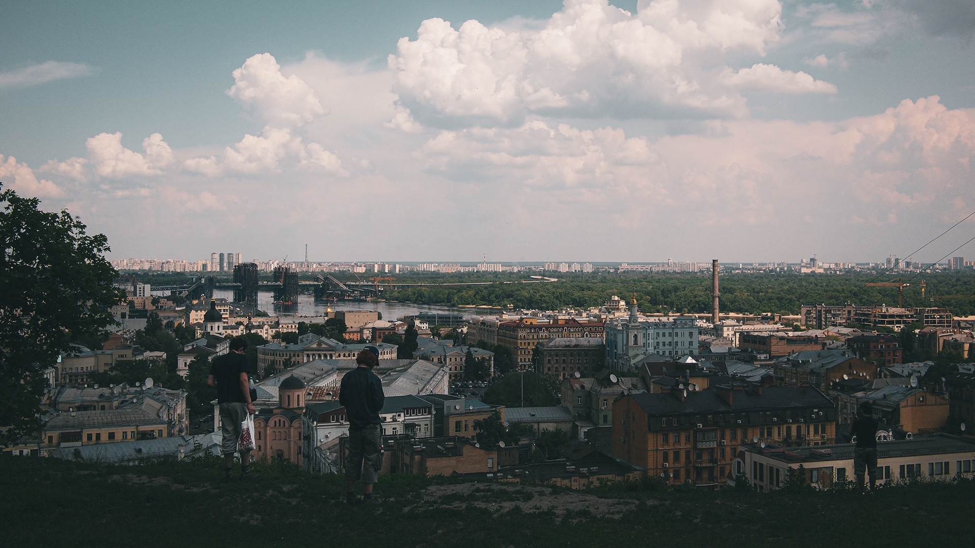
Kyiv’s historic district of Podil and the Dnieper River, the east-west dividing line of Ukraine.
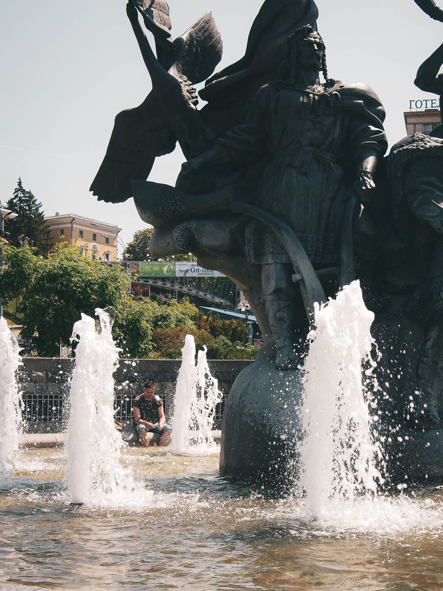

Fountains on Maidan, the central square of Kyiv.

Khreschatyk, one of the main thoroughfares of the city.

Khreschatyk. On May 1, 1986, the Soviet leadership chose to continue with the Mayday parade, despite knowing that the radioactive cloud from the recent explosion at Chernobyl would collect in the valley in which the street sits.
Golden onion domes define the skyline of the Kyiv cliffs sat high over the Dnieper.

St. Michael's Monastery.
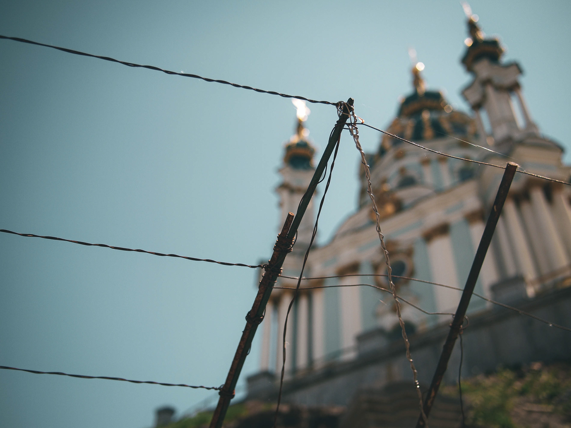
St Andrew's Church.

An angel over the entrance of St. Michael’s Monastery. Rebuilt in the early 2000s as a replica of the historic monastery dynamited on Stalin’s orders, it is a tangible symbol of Ukraine’s rebirth as a nation.

The Motherland statue at the memorial to the Great Patriotic War.

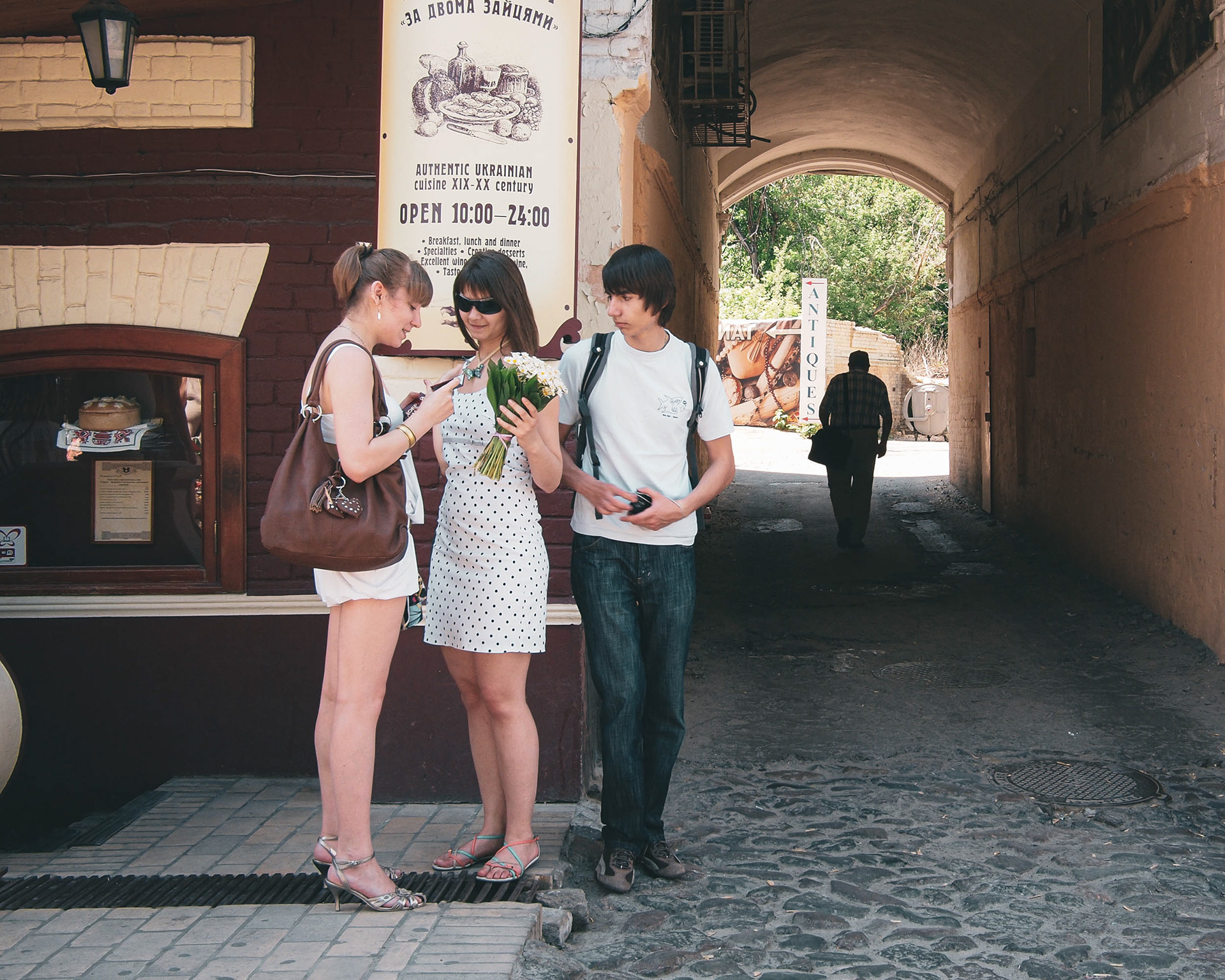
St Andrew's Descent, from the Old Town to Podil on the river.

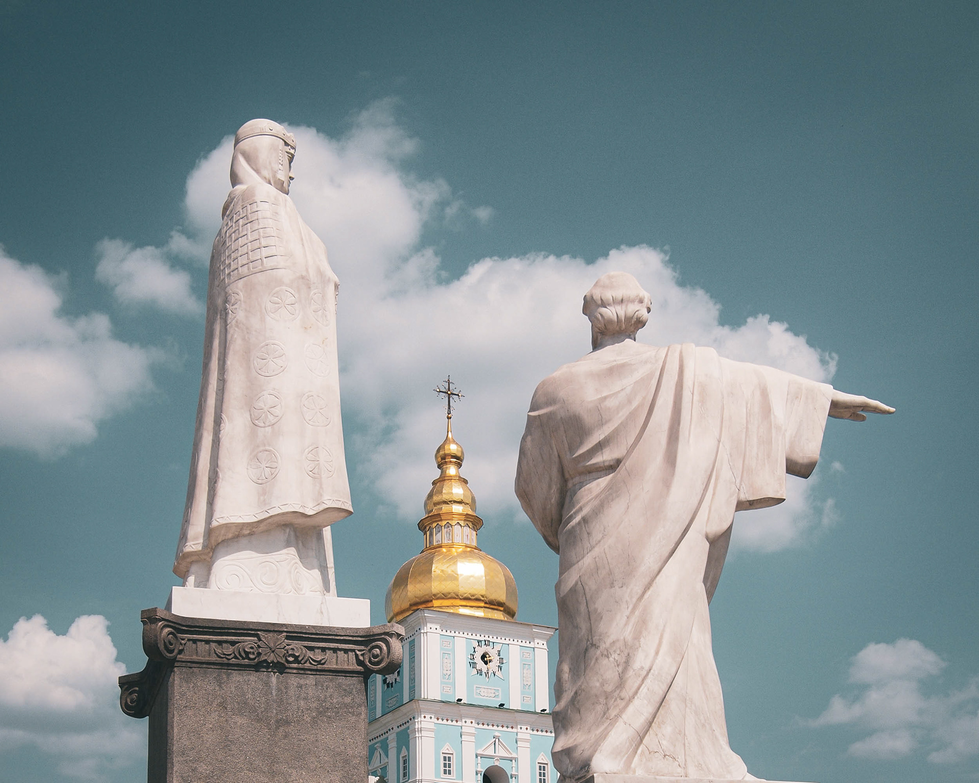
St. Sophia’s cathedral dates to the 10th Century, when Kyivan Rus’ converted to Orthodox Christianity, two centuries before the founding of Moscow.


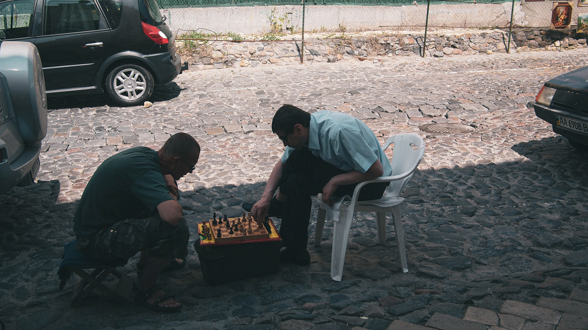
A side alleyway off St. Andrew’s Descent. Ukraine has struggled for centuries to see and assert itself as a nation, but since 1991 has been an independent republic. Its relations with its larger neighbour Russia have defined much of the era.
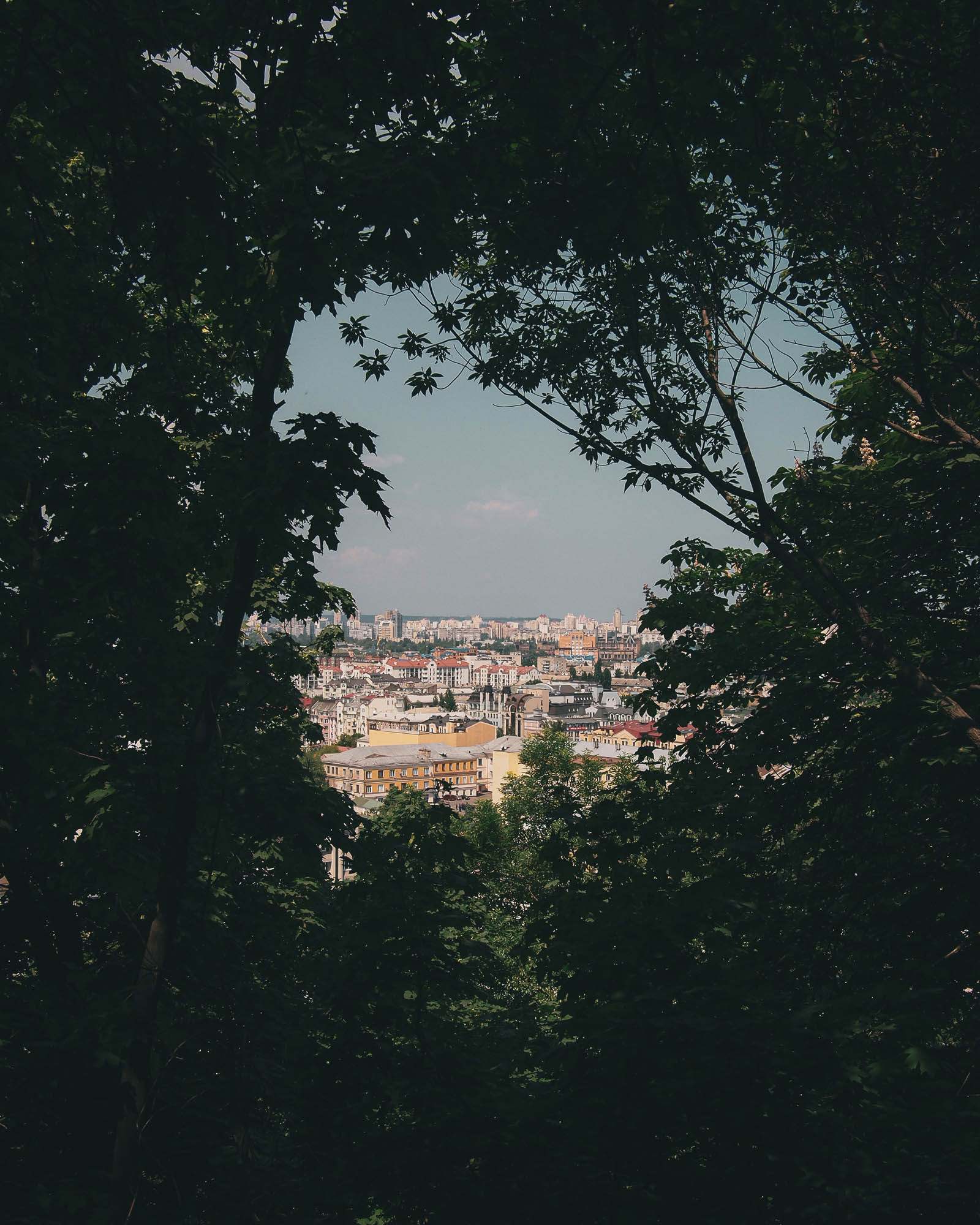
The heart of Kyiv sits on the Right Bank of the Dnieper River, high on cliffs, with views out over the surroundings from within woodland.
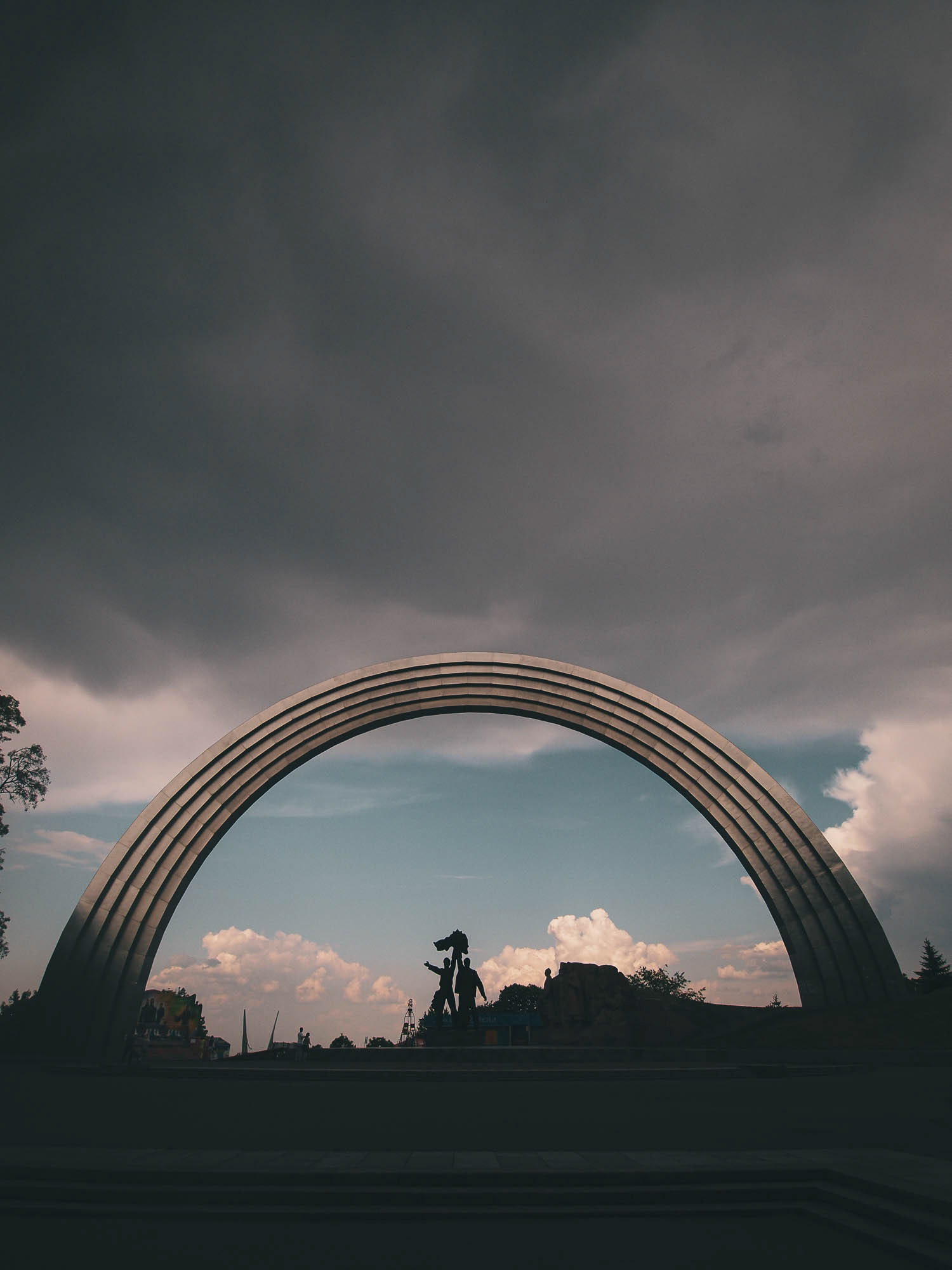
The Friendship Arch, a Soviet monument to the ties between Russia and Ukraine. In 2014 activists painted a crack at the top of the arch.

Statue of St Volodymyr, the first Orthodox Christian king of Rus, next to the Dnieper river.

Presidential administration building in central Kyiv. In 2011, Viktor Yanukovych was president of Ukraine, attempting to balance relations between Russia and Europe, whilst enriching himself and his family. He would later flee to Russia after the 2014 Euromaidan revolution.

The network of parks on the cliffs above the Dnieper river, connecting the Mariinsky Palace (home of Ukraine's president) with the Motherland monument, a Soviet-era statue commemorating the victory of the 'Great Patriotic War'. Ukraine suffered more than any other country in the world in WW2, and between 1932-1945 it was the most dangerous place to live on earth. The memory of WW2 has been used as powerful patriotic imagery by Russia in the 2010s.

At a memorial to the Holodomor, a deliberate famine created by Stalin's collectivisation policies that caused an estimate 3 million Ukrainian deaths in 1932-33. Ukraine considers the actions a genocide.

A padlock inscribed 'Hope' on a footbridge overlooking the Dnieper.

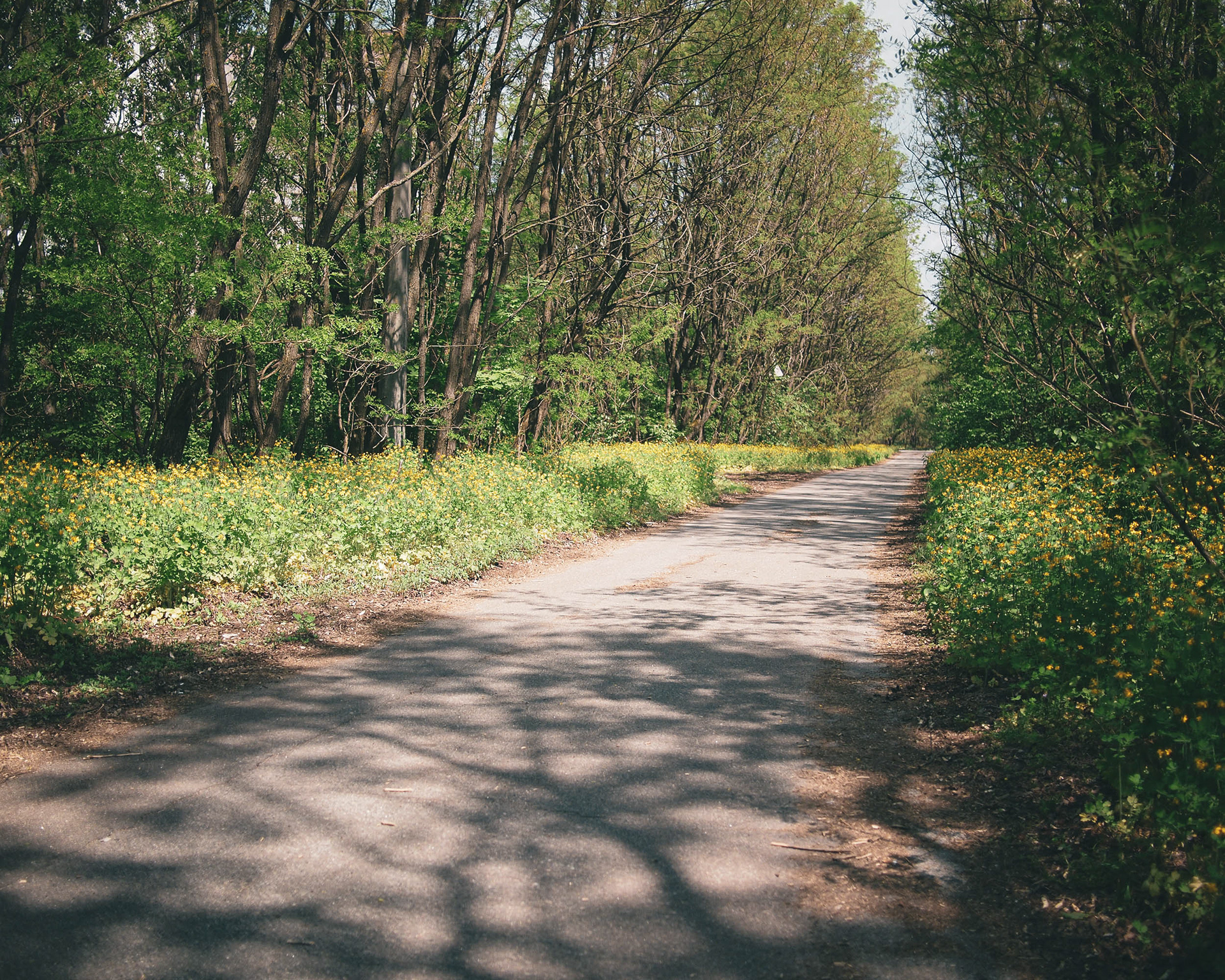
The Chernobyl nuclear power plant is 110km north of the centre of Kyiv, through the seemingly endless forests between the capital and the Belarussian border.

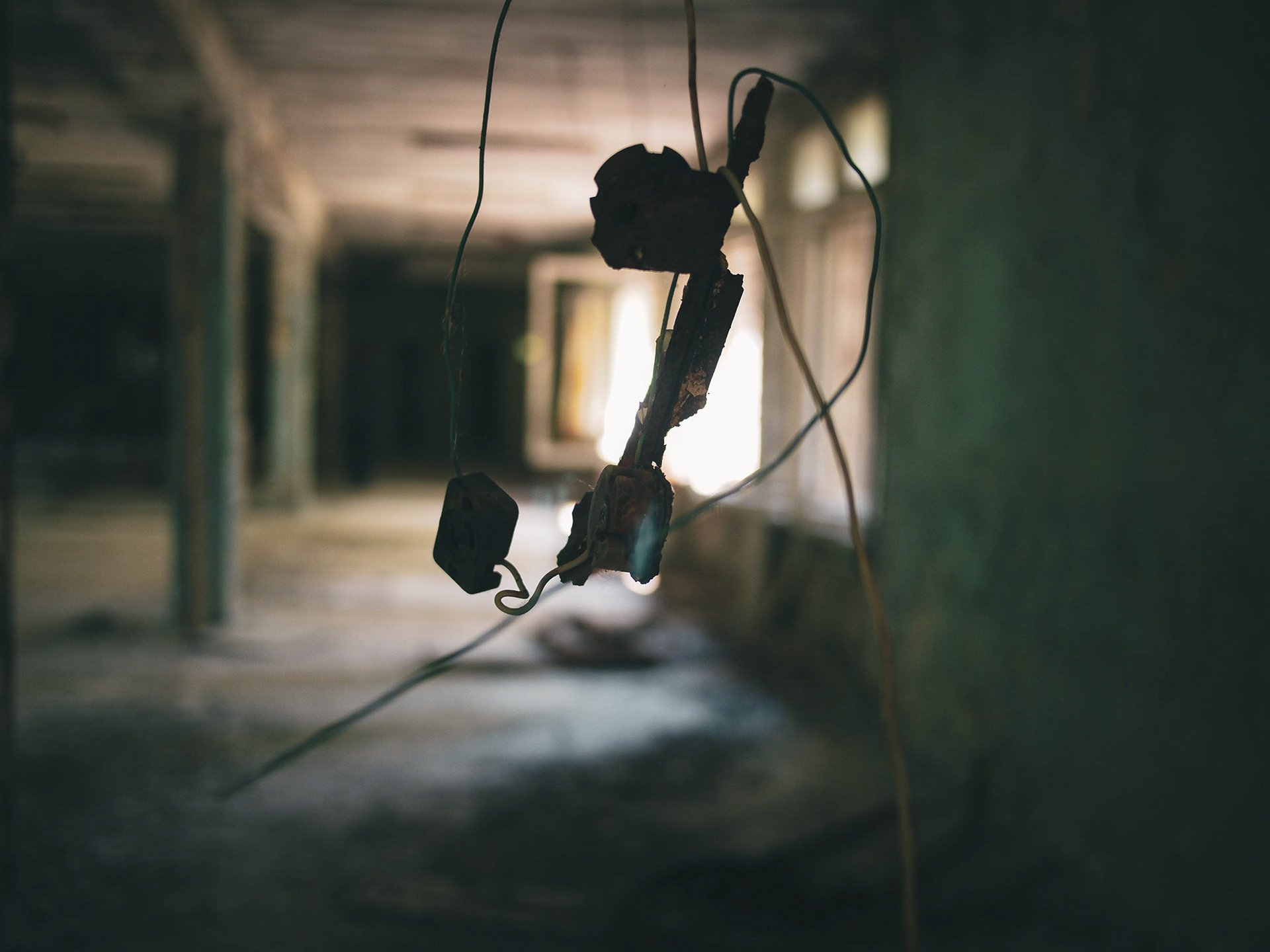
A telephone at the village of Chernobyl, the main access point to the 30km exclusion zone. On April 26, 1986, disbelief at what was occurring at the plant, and fear of reporting bad news upwards, led to confusion and miscommunication, delaying evacuation efforts.

Reactor #6 at the Chernobyl power plant. It was under construction at the time of the accident, and all work was abandoned. The site remains constantly monitored. Early in the Russian invasion of 2022, the whole area was captured by Russian forces, to international concern.
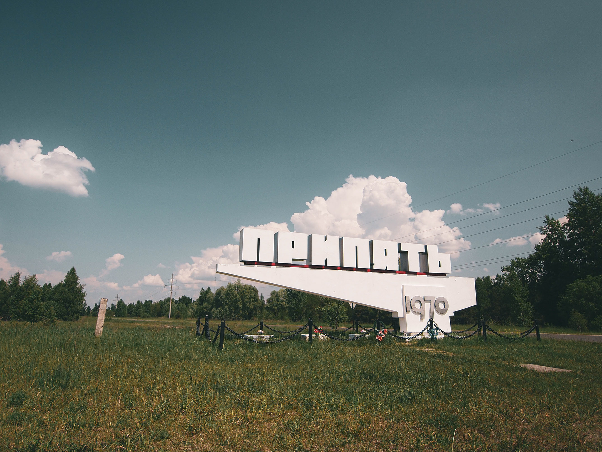
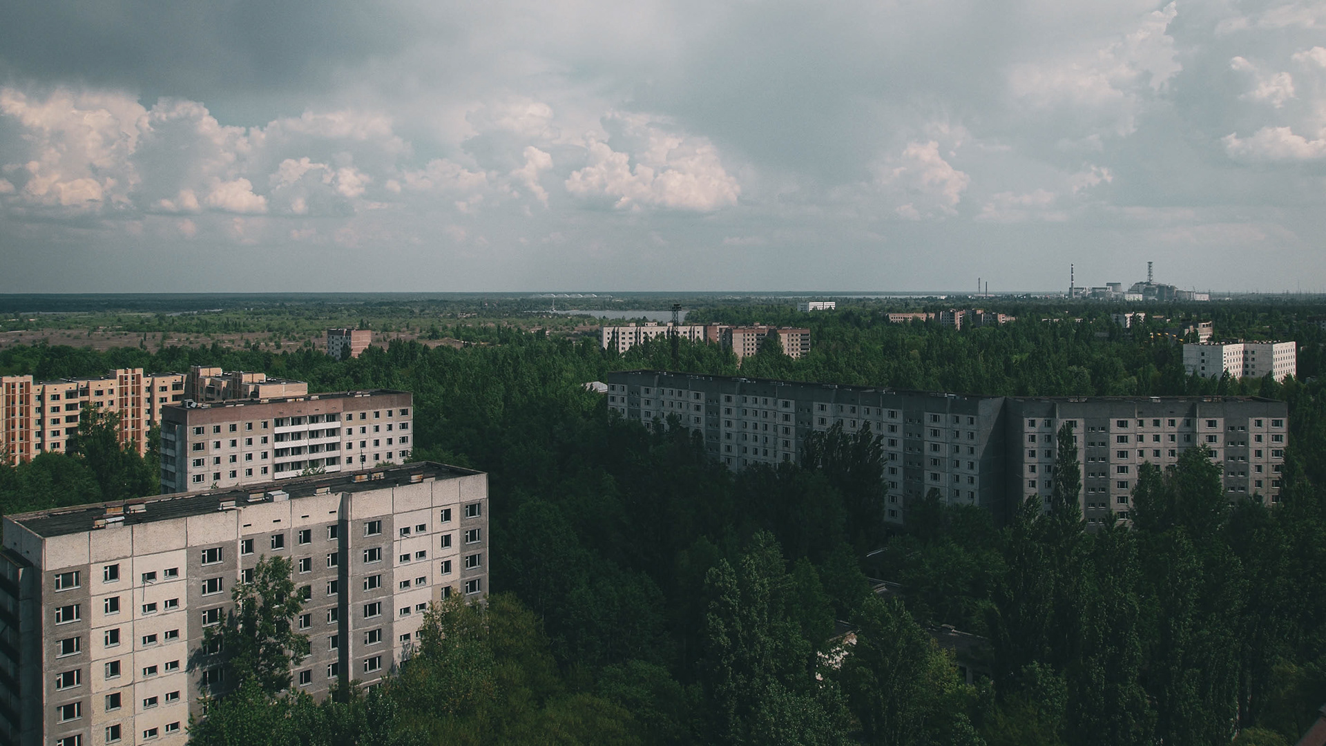
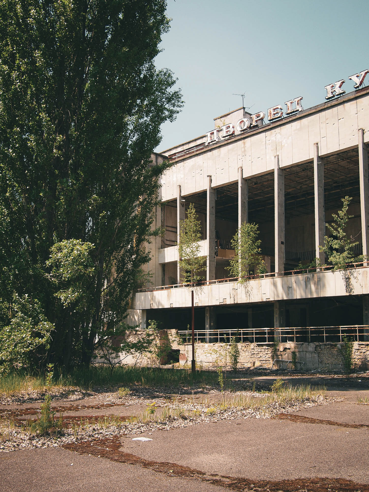
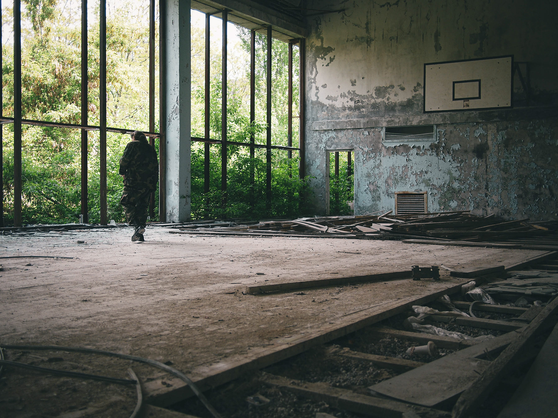
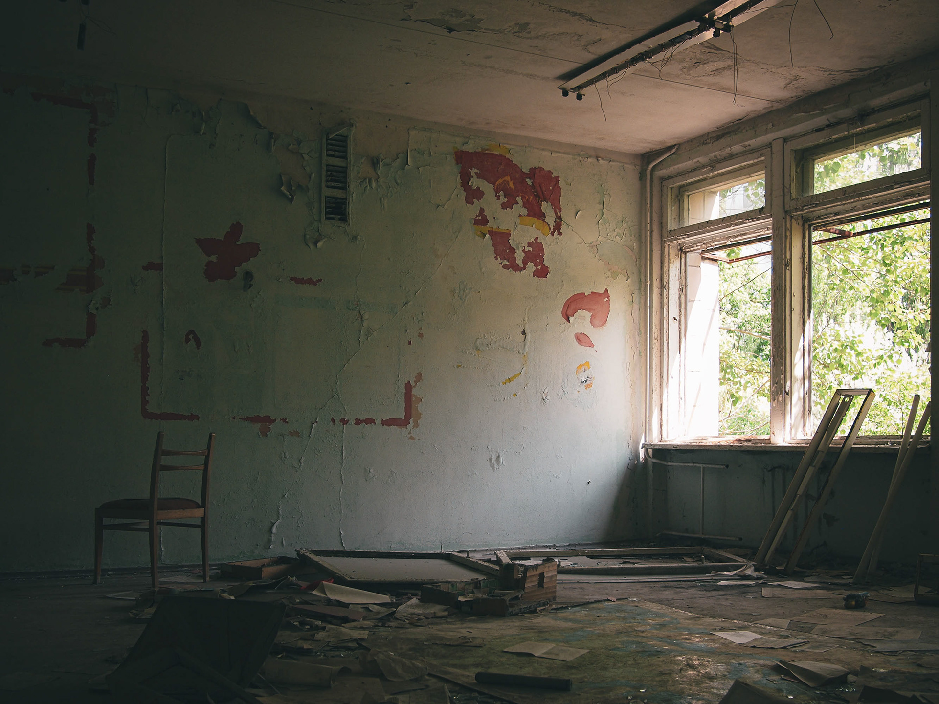
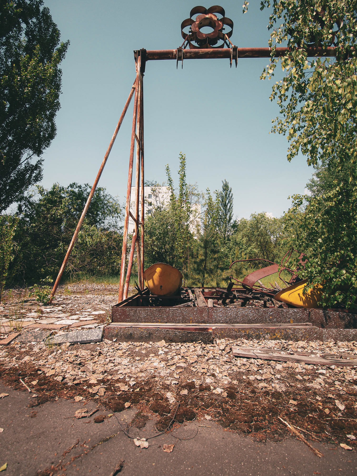
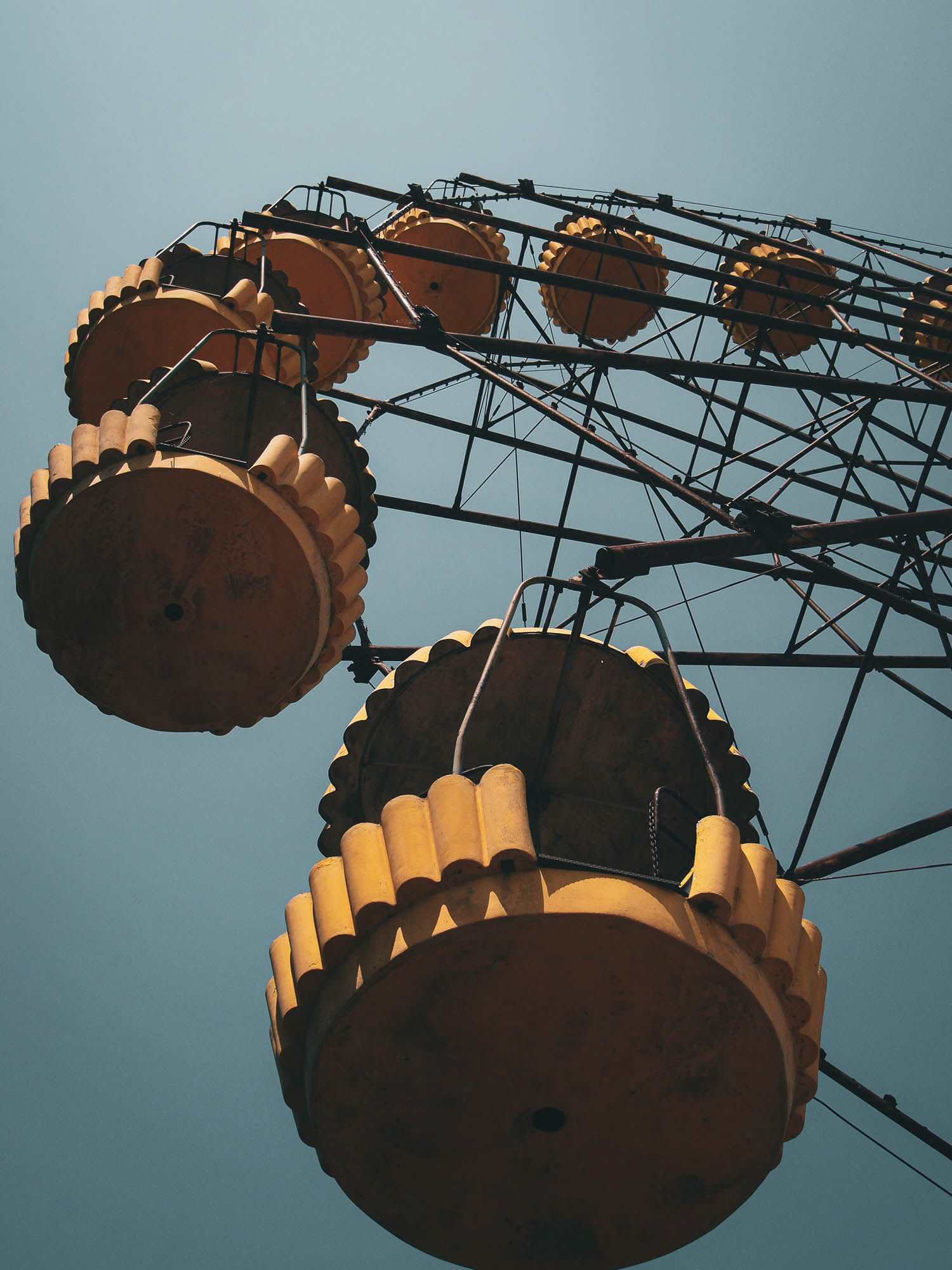
The city of Pripyat was built to house the employees of the plant. It lies a few kilometres from Reactor 4. Despite the danger, an evacuation was only ordered two days after the reactor meltdown and explosion, with the stated intention that it would only be for a few days. The city of 50,000 people has been abandoned ever since.


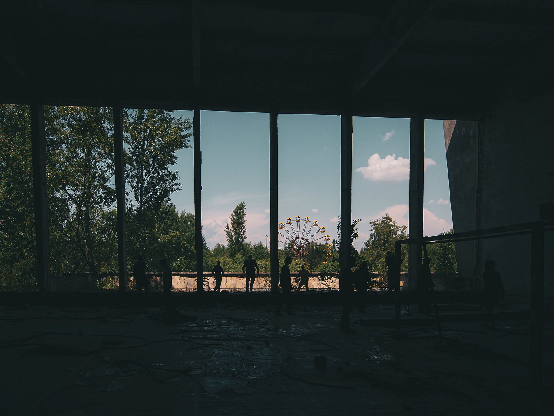
View from inside the swimming pool towards the abandoned fairground.
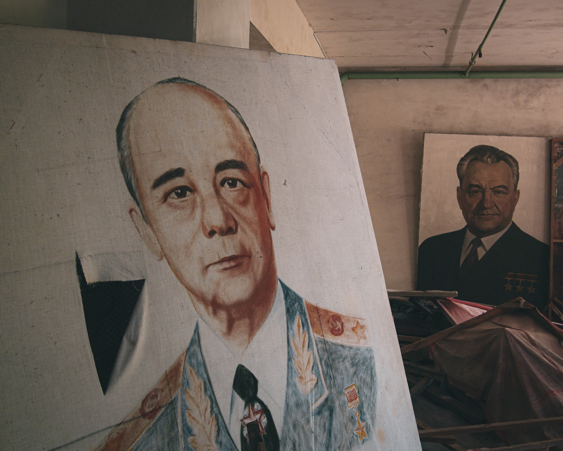


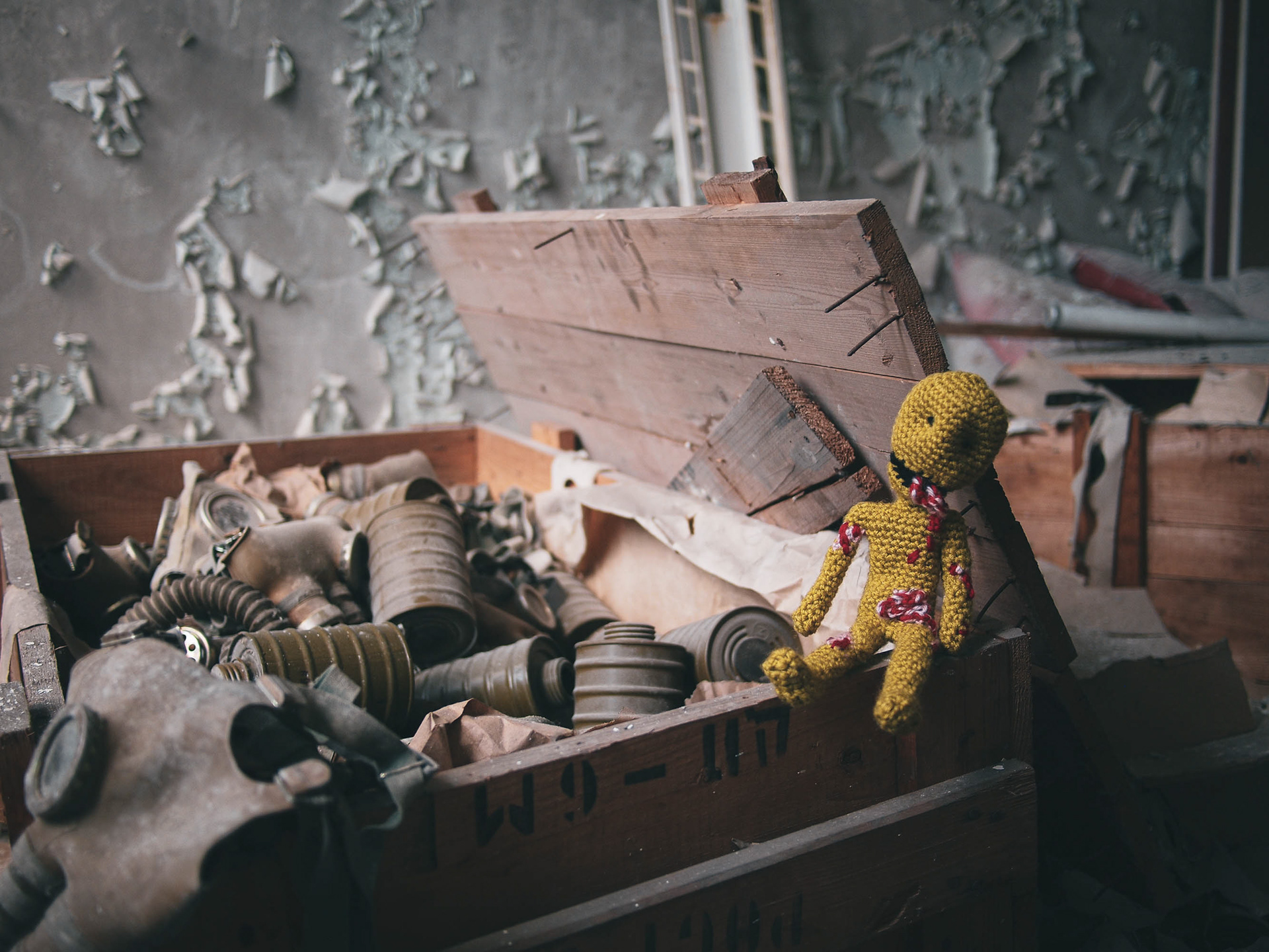
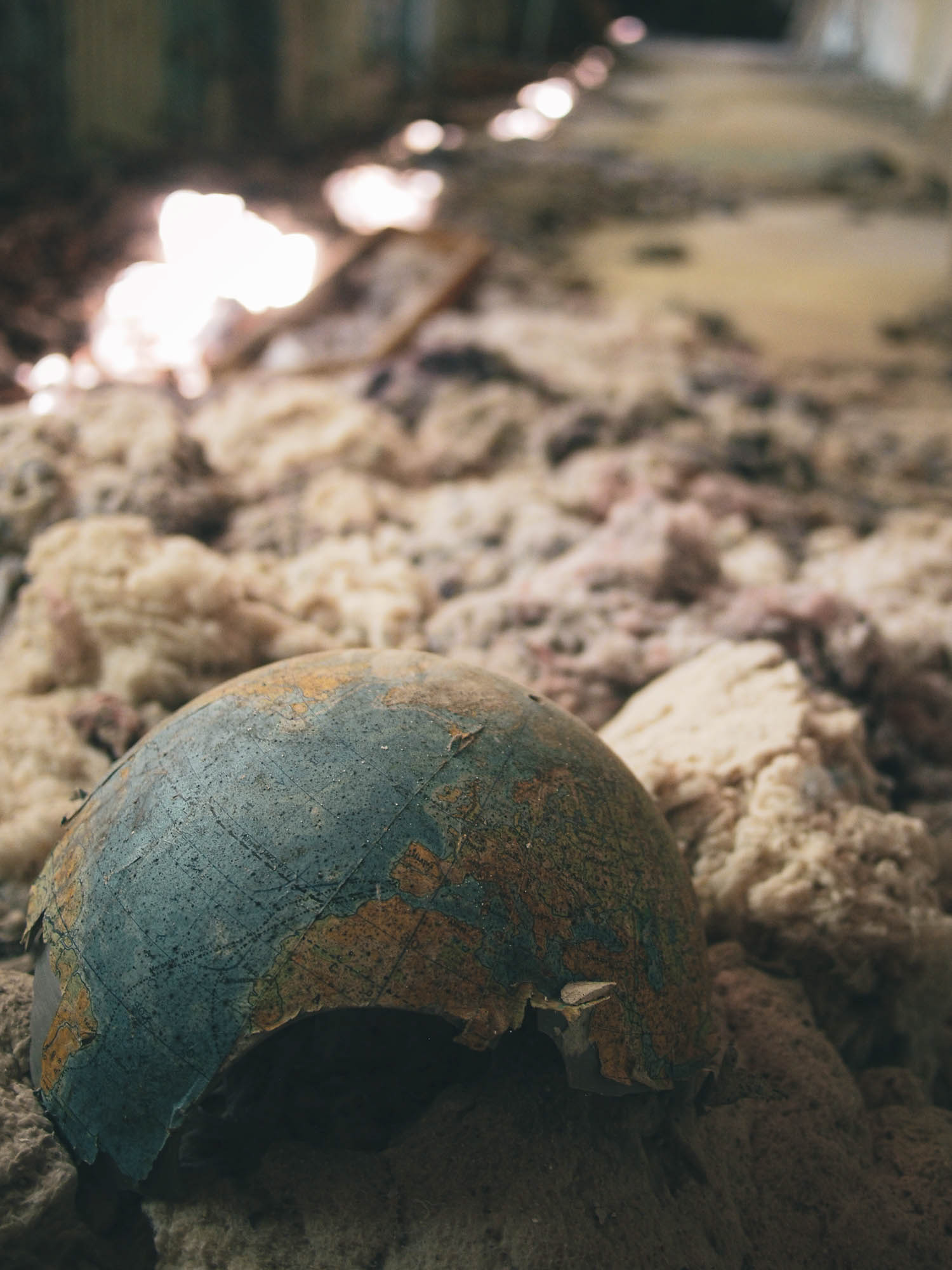
Looting has removed most items of value. Other items have been placed to remind visitors of the horrors experienced.
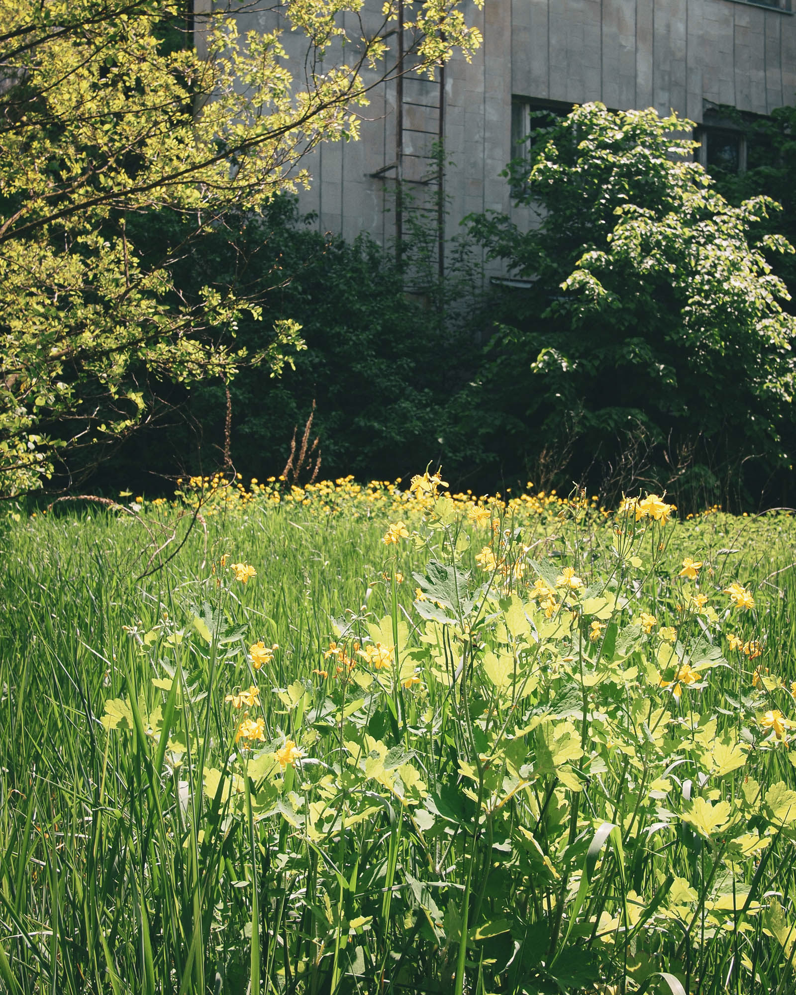
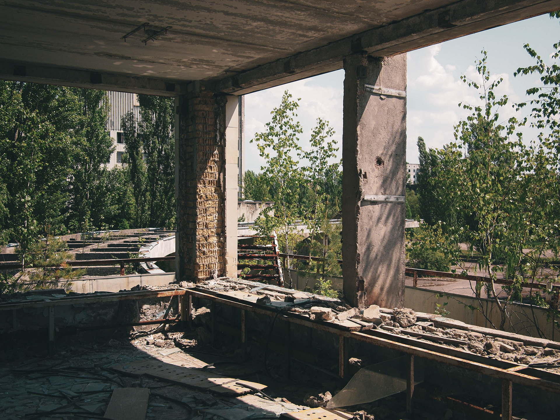
A street on the edge of Pripyat. Over time the urban fabric has been swallowed up by nature and the forests around.
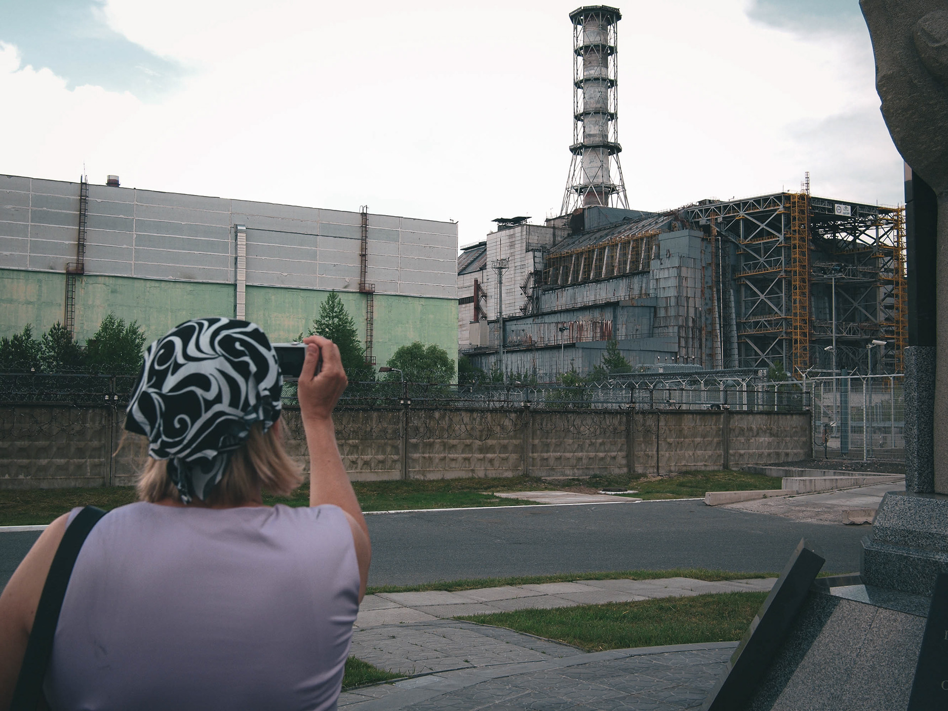
A visitor photographs Reactor 4. It is protected by the temporary ‘Sarcophagus’, a structure hurriedly put up in 1986 with a 5-year lifespan. 25 years later, it remained the only source of protection between the outside world and the tonnes of nuclear fuel that remains inside. In the mid 2010s a new, long-term shield was constructed, funded by the EU and other partners, to provide better containment.
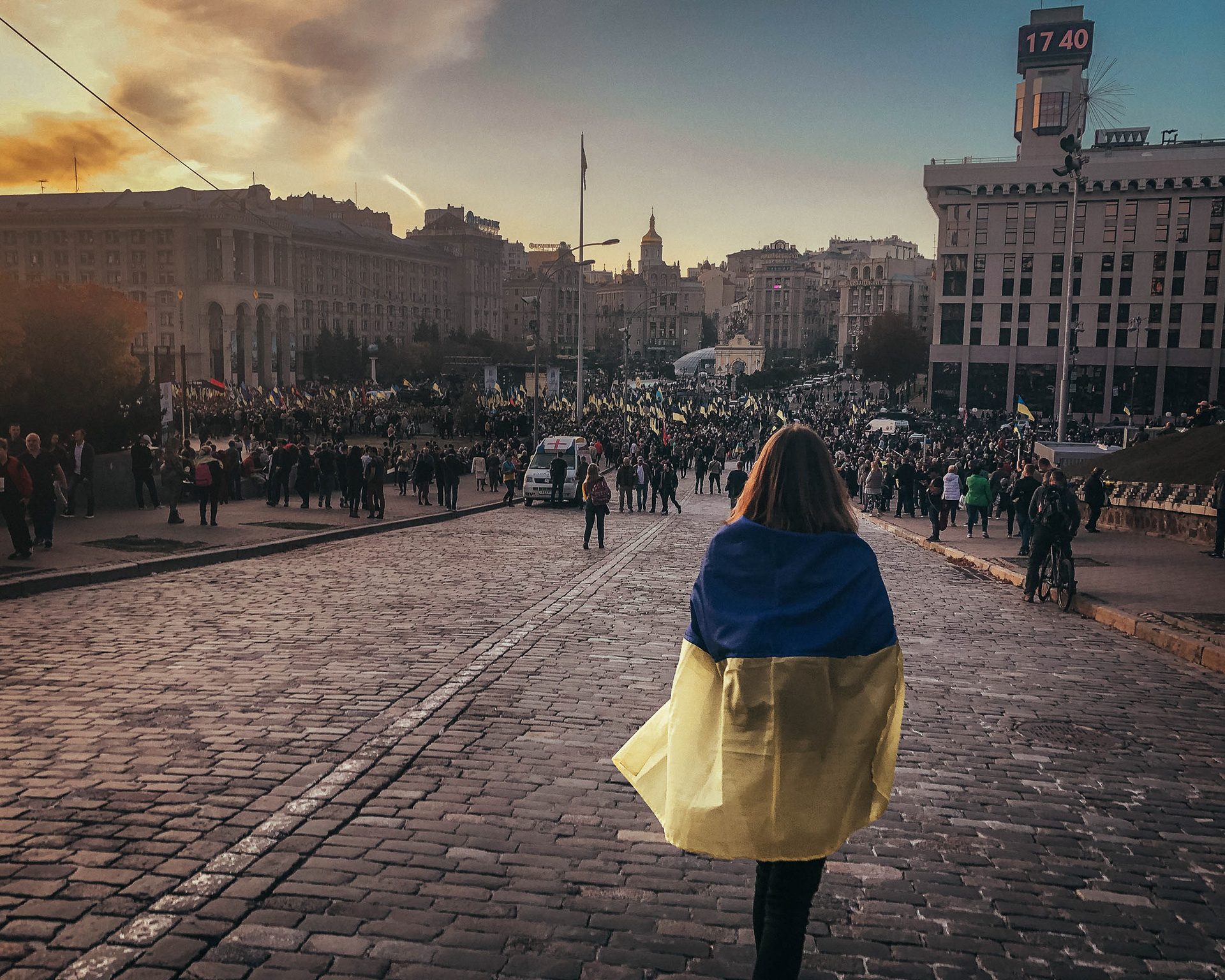
A peaceful protest in the Maidan against implementation of the Minsk agreements by the Ukrainian government. Since 1991, Ukraine has had free elections, peaceful transfers of power, and rights to free assembly and protest. The political violence of 2013 and 2014 shocked the nation, galvanising protestors to stand firm and safeguard the country’s democratic future.


Evening rush-hour traffic clogs the square between St Sophia’s and St Michael’s.
Outside the Stalinist building of the Ministry of Foreign Affairs.

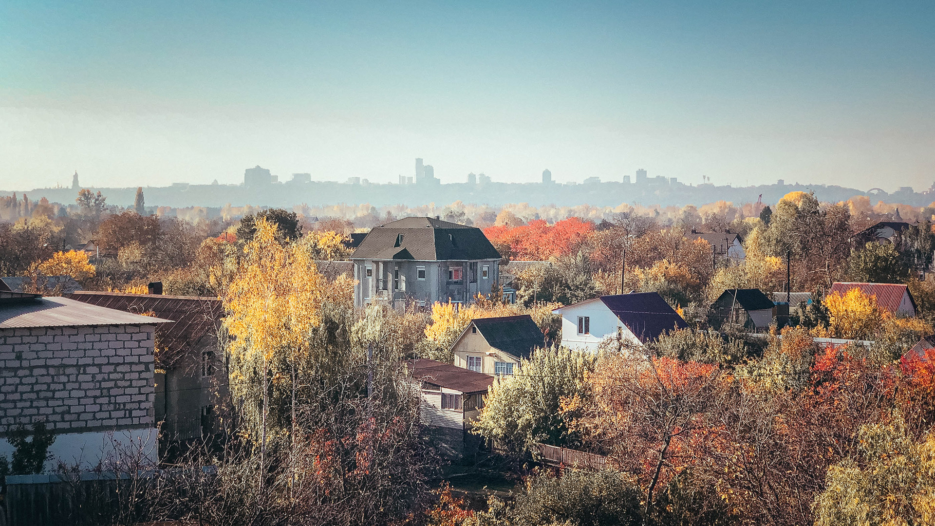
Construction work on new flats at Lybidska. Kyiv is one of the few Ukrainian cities to experience population growth in recent years, with thousands of refugees from the Russian invasion in the Donbas growing the city’s residents. Ukraine as a whole has lost around 20% of its population since 1991. The economy is 40% smaller in real terms.
Kyiv’s skyline from the Left Bank of the Dnieper river. In the opening stages of the Russian invasion of 2022, missile strikes attacked the city in an attempt to topple the government quickly, a plan that failed.
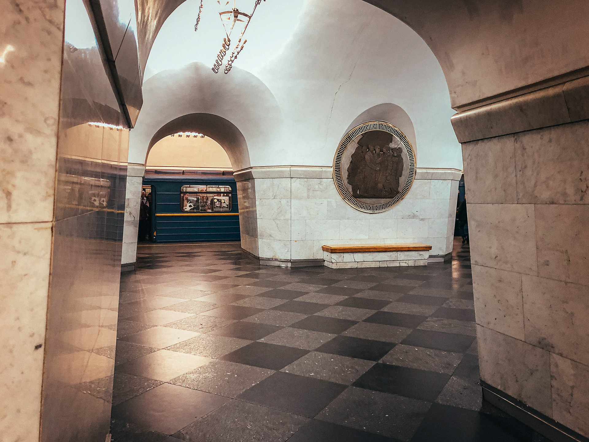
A Metro station in central Kyiv. The first parts of Kyiv’s Metro were begun in 1954 under Stalin. During air raids in 2022, tens of thousands of people sheltered in the Metro system from Russian missiles and bombs, with trains repurposed to provide sleeping accommodation.

A former dockland northeast of the city centre. During the opening stages of Russia’s invasion, the Intelligence Services building in the distance was attacked with missiles, which missed their target.

A thermal power plant near the main railway station. Such civilian infrastructure has come under attack, leaving hundreds of thousands without heat in the middle of winter.
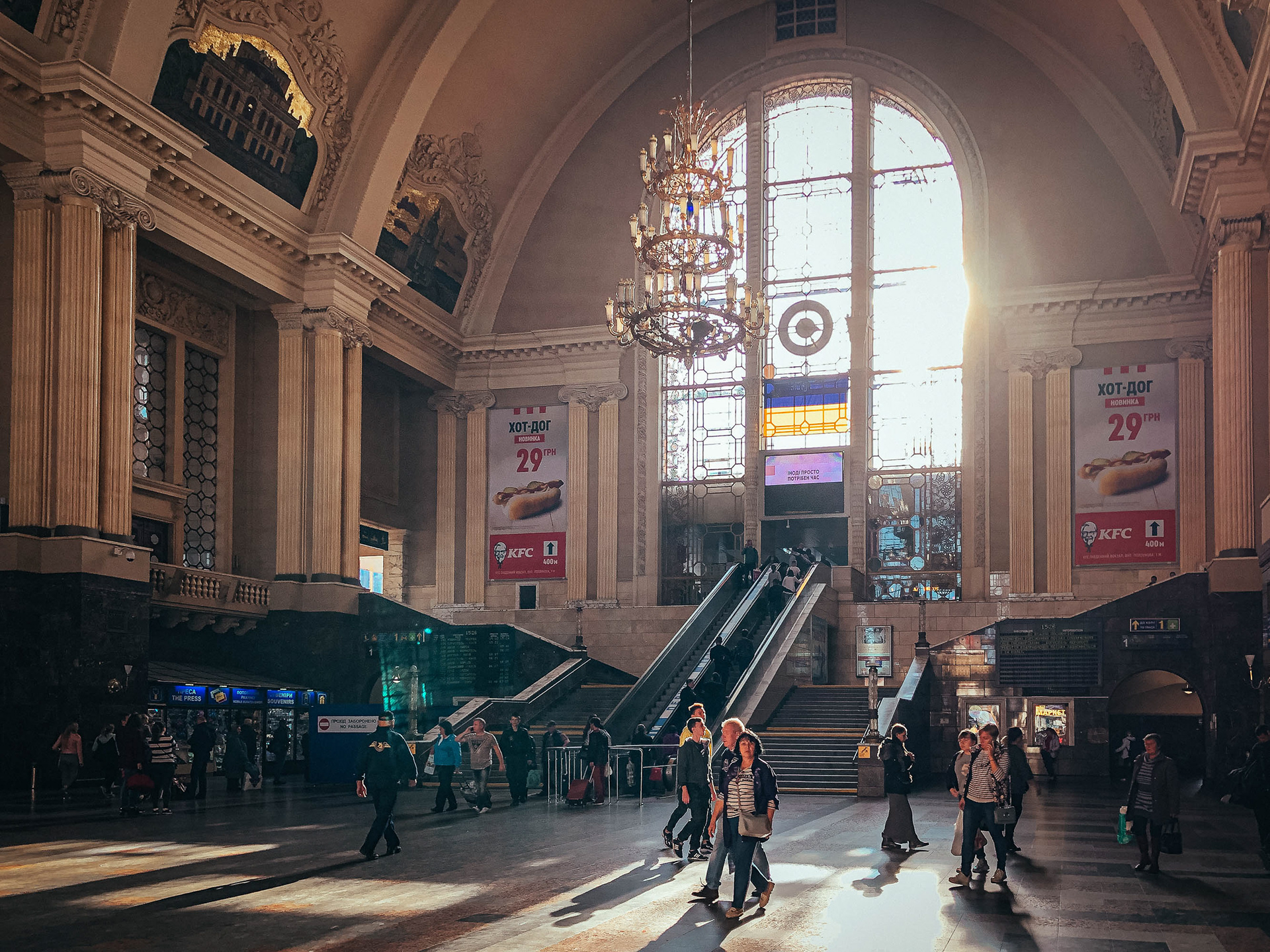
The ticket hall of Kyiv’s main railway station. Hundreds of thousands of women and children evacuated the city on trains heading westwards from this station, leaving their husbands, sons and brothers to defend the city.

A railway yard to the north of the city. Ukraine’s railways are one of the largest and busiest in Europe, and have performed a vital role in evacuating civilians and transporting military supplies during the invasion.

Brovarskyi Avenue in the east of the city, on the Left Bank. This road leads to the nearby town of Brovary, where Russian troops performed intense shelling to take territory, as part of an attempt to surround the city. Beyond Brovary, this road is the main route between Kyiv and Moscow.
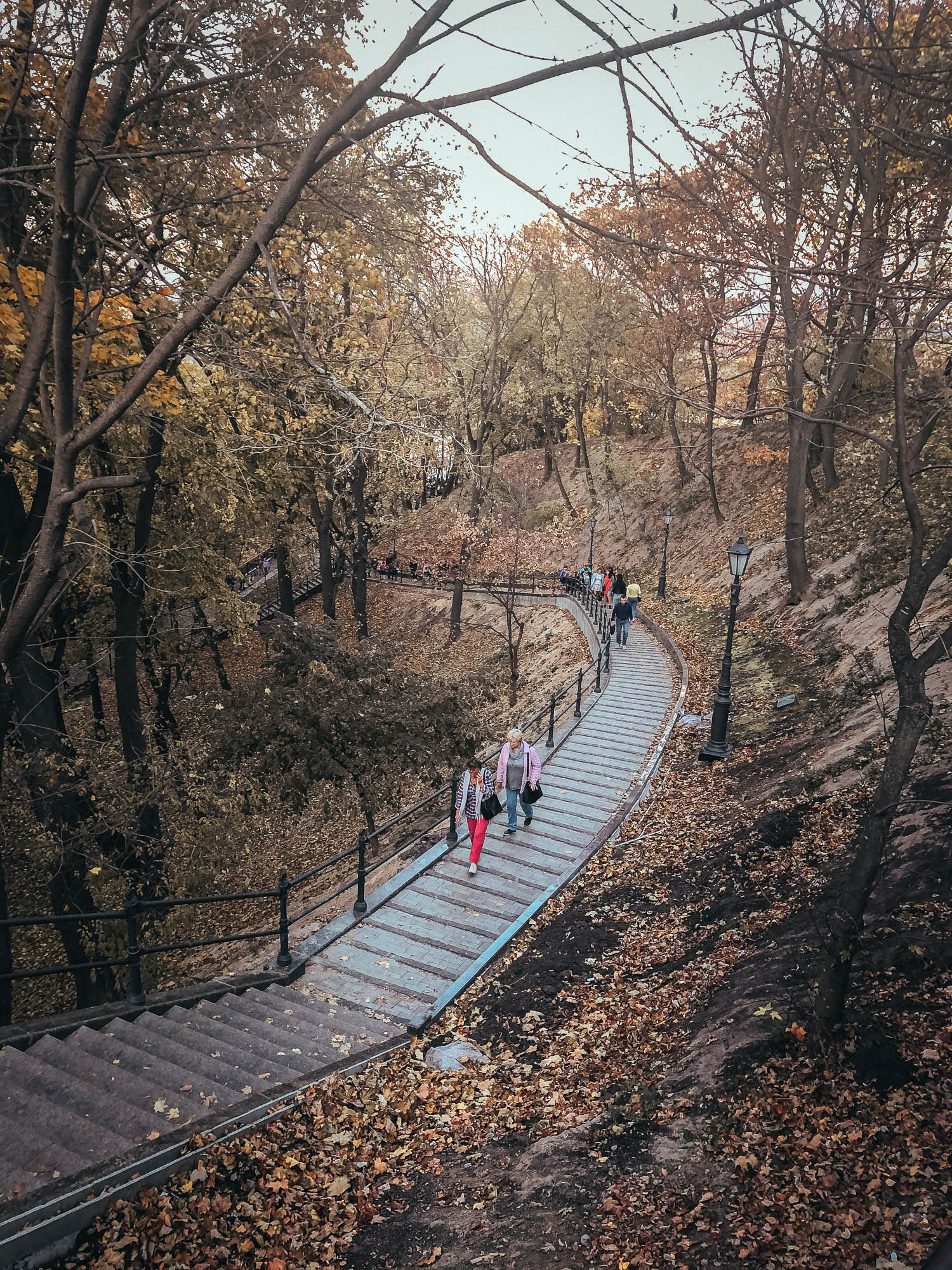
Walkers in the woods leading down to the Dnieper river. Much of the city is surrounded by extensive forests, providing a natural defensive landscape.
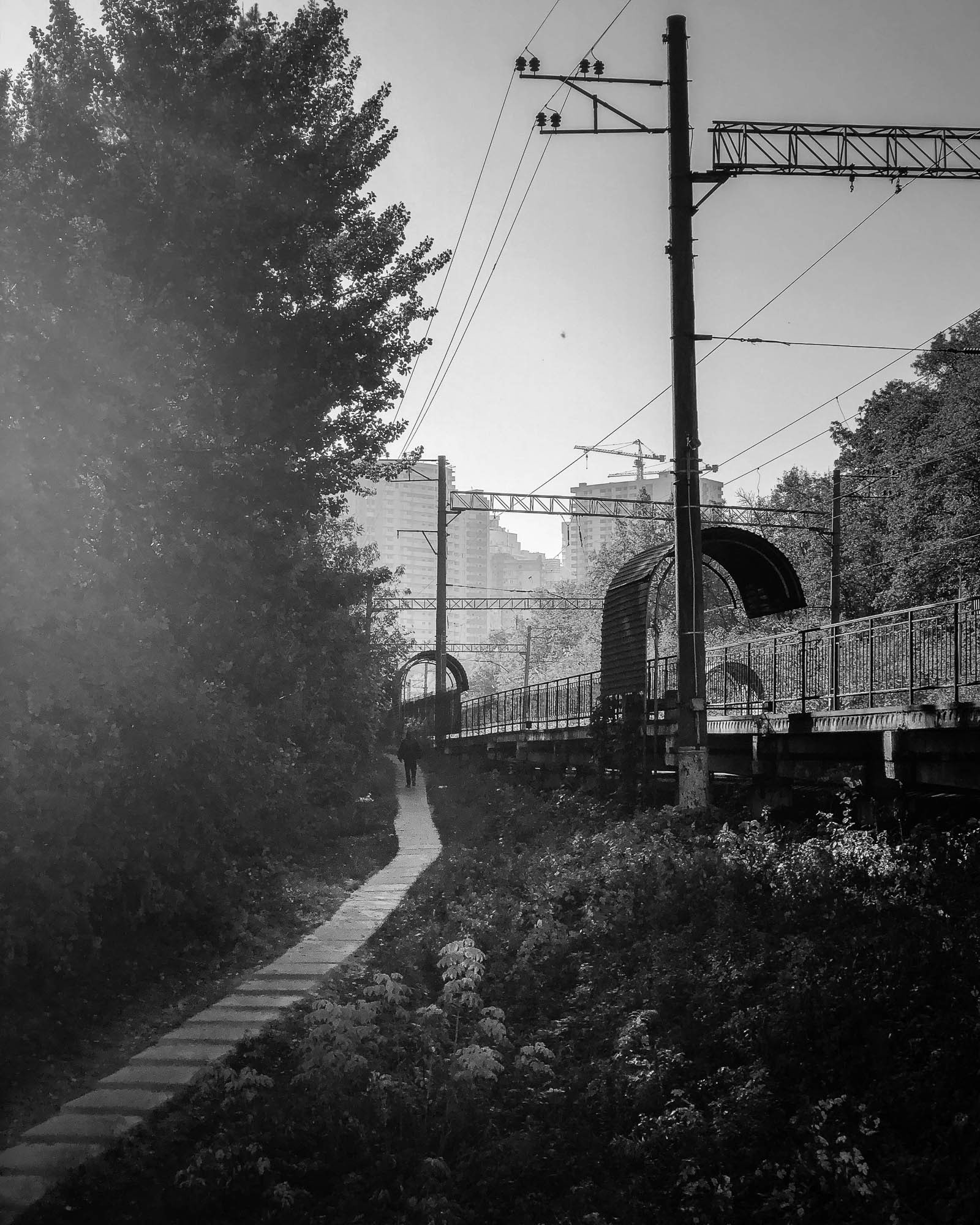
Syrets railway station on the ring railway in the northwest of the city. Construction work in the background surrounds the location of the US Embassy in Ukraine. One writer has characterised the geopolitics of the invasion as a result of ‘a Russian leadership obsessed with Ukraine, and a US leadership that barely noticed it’.

Buildings in central Kyiv, near the government district. Initial Russian operations appeared to attempt to force regime change through a special forces operation launched from Hostomel airfield to the north of the city. The airfield took much longer than expected to capture, allowing the city to set up defences.
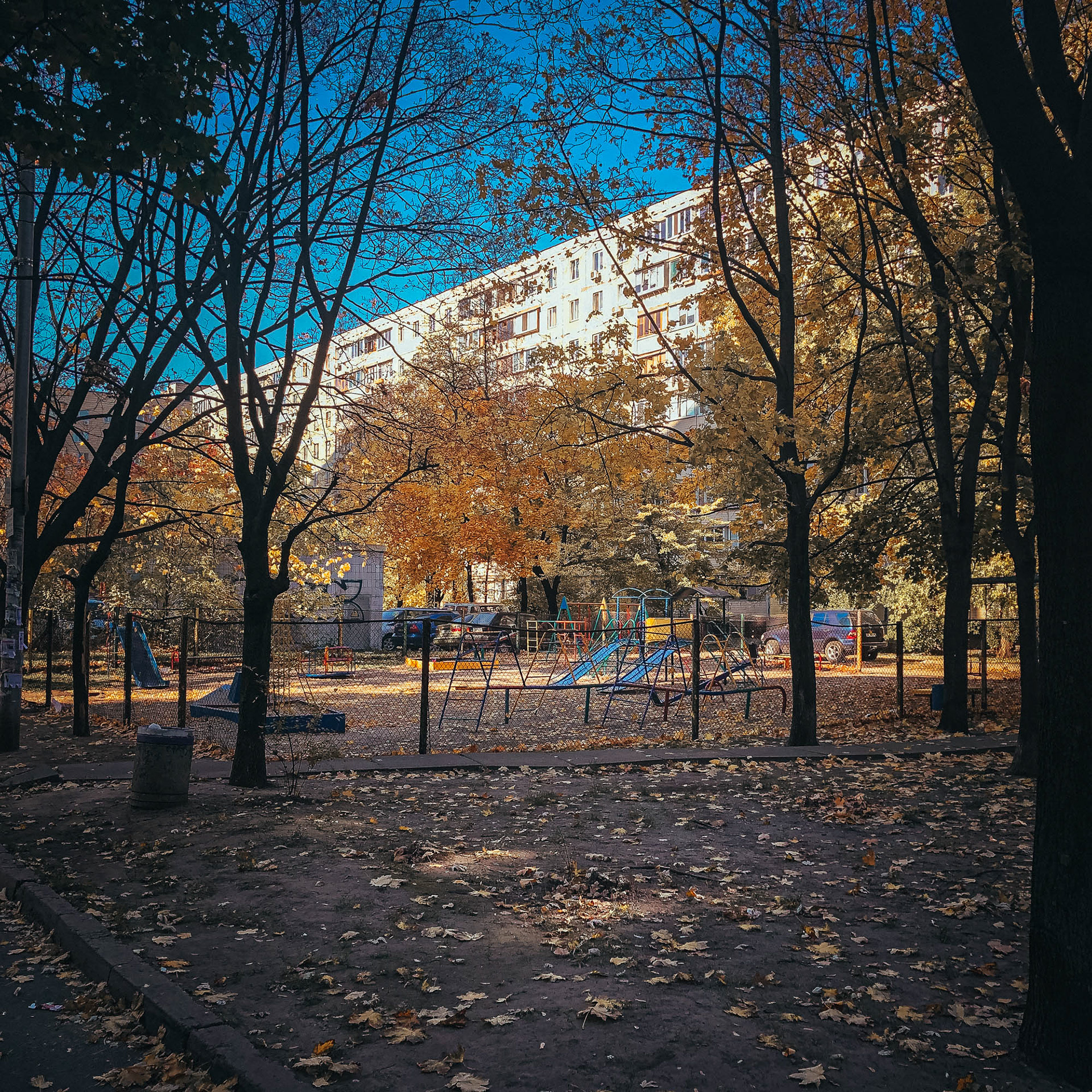
A typical residential neighbourhood in Kyiv. The defining image of Russia’s invasion has been the shelling and destruction of such neighbourhoods across the country, places with no military or tactical value other than causing civilian suffering and terror.